3DNSITE: A NETWORKED INTERACTIVE 3D VISUALIZATION SYSTEM TO SIMPLIFY LOCATION RECOGNITION IN CRISIS MANAGEMENT

Abstract
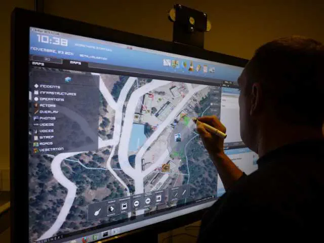
We report about the 3DNSITE system, a client-server 3D visualization tool which streams and visualizes tridimensional hybrid data on portable devices to support crisis managers and first responders during simulation and training of emergency operations. In this peculiar context is very important to share the same, large data in a web-based environment, accessing it through portable devices. Here it has to be visualized using simple and immediate interfaces, since the specific end-users are not necessary skilled with virtual reality and 3D objects interaction. The dataset itself is not static as well as in general purpose web based 3D browsers, but dynamic and changing during the evolution of the real or simulated crisis. According with these constraints, we propose a system which simplifies location recognition and visualizes dynamically updated pictorial data inside a virtual 3D environment. Our system is integrated in a more complex and articulated training and decision framework for emergency operations. 3DNSITE implements a novel aided intuitive interface designed to exploit touchscreen devices to easily navigate between 3D aligned photographs. Unlike common popular 3D maps browsers, the free 3D navigation through the whole 3D model is always supported, assuring an interactive representation of the scenario also when no photo is available. 3DNSITE enhances already presented state-of-the-art methods for managing the data, achieving an excellent scalability on portable devices in terms of both performance and amount of data. The system also scales over different devices according to their hardware resources and the available network bandwidth, exploiting a state-of-the-art multiresolution representation for the 3D model and a multi-level cache system, employed to web access both the images and the hierarchical 3D model structure.